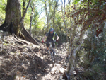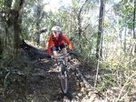
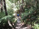
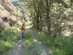
Sharlands Creek Grampians Wairoa R Branch

Richmond Hills Teetotal Silvan Forest
For information on other short ride areas, check out the following links:
For additional and detailed information around how Nelson/Tasman's multi-use, recreational trails and tracks fit together, Top of the South Maps provides a wonderful resource. Use the Recreation tick box on the left hand menu, and zoom in on any area on the map to have a look at the information on this shared Nelson City Council and Tasman District Council provides.
Marlborough District Council also provides a wonderful GIS mapping tool - well worth a look to identify recreational resources here.
Also check out MTB Project for trail maps, photos and descriptions.
